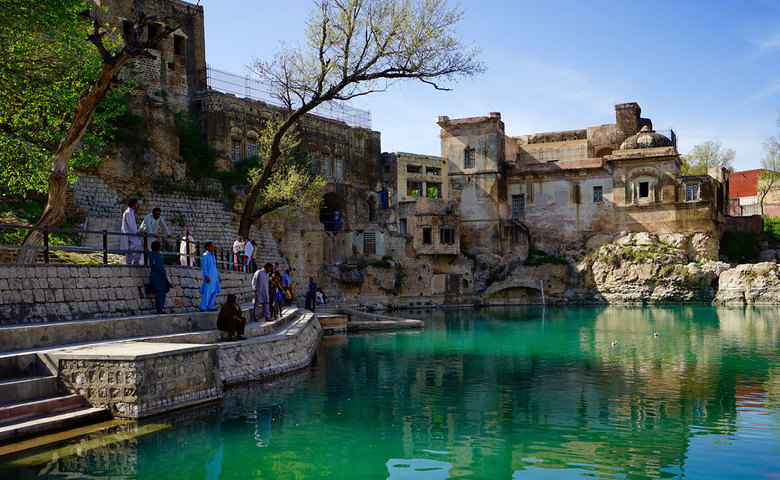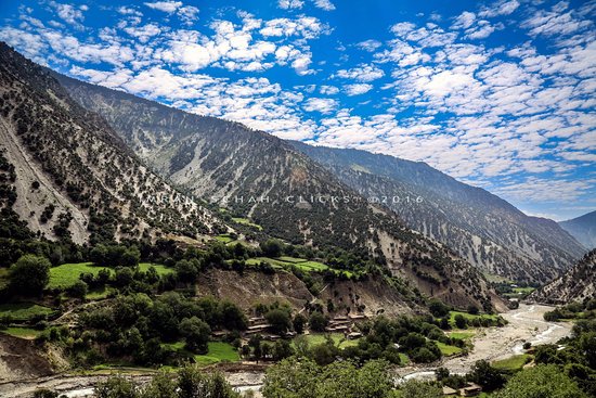

Hunza Valley, Gilgit Baltistan
Every traveller must fall in love with the area at first sight. There is nothing better than to get to Karimabad (2420 m asl), the heart of the Hunza valley, after a difficult and long trek, sit on the terrace of one of the small hotels, pluck ripe apricots directly from the tree and enjoy the breathtaking sunsets at the local mountain queen – Rakaposhi (7788 m asl).
The magnificent Attabaad Lake, which is also known as Gojal Lake is situated in Gojal Valley of Gilgit Baltistan. There is a sad fact that a lot of Pakistanis don’t know about the lake, It was formed in January 2010 after a massive land sliding into the Hunza River.
Hunza river broke here through the ridge of the mighty Karakoram, which is more than five kilometers higher, so there are plenty of dramatic views in all directions.

Borith lake is situated just 2-3 KM away from KKH, The road towards lake is a mud track but could be reached with cars easily. The color of lake is very dark and may be not as beautiful with respect to other lakes of Gilgit Baltistan but its water is crystal clear. The place is very silent and peaceful and sight is also very scenic.